5 car trips in Brazil that can become a nightmare for drivers
From the isolated capital to the road with the most accidents in the country: five routes in which driving requires planning, a prepared vehicle and patience to spare
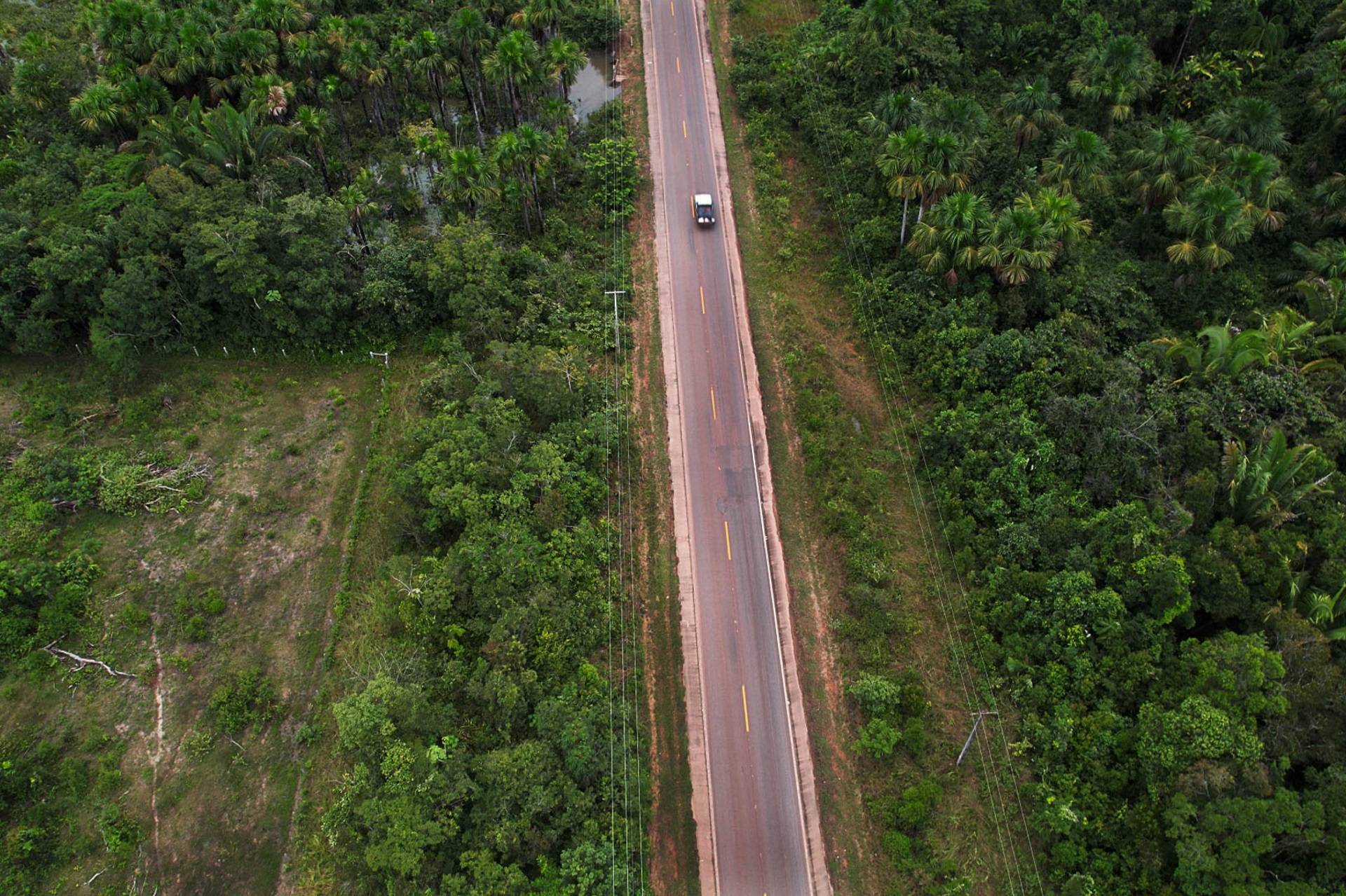
Brazil has fascinating landscapes, but to reach them, it can take a lot of patience (Photo: Alberto César Araújo | Amazônia Real)
Getting in the car and hitting the road is usually synonymous with freedom — but in some parts of Brazil, the ride becomes an ordeal. Huge distances without a gas station, wooden bridges that give way in the flood, highways that turn into mud in the Amazon winter and even crossings that simply do not exist by land turn the trip into an adventure with an uncertain outcome.
The following AutoPapo selection brings together five routes in which driving requires planning, a prepared vehicle and, often, patience to spare. There are classics of Amazonian isolation and routes almost never mentioned outside the regions they cross. Discover five Brazilian trips that can become a nightmare.
Belém-Macapá: the journey that does not exist by land
Practically the entire journey between Belém (PA) and Macapá (AP) is made taking the car over ferries (Photo: Agência Pará | Disclosure)
Amapá is the only Brazilian state that has no road connection with other places in Brazil and this, obviously, drastically affects the arrival in its capital, Macapá. Those who leave Belém by car soon discover that there is no road: the way is to board the vehicle on a ferry and cross the labyrinth of rivers of the Amazon Delta.
The 529 km trip is similar to the route between Belo Horizonte and São Paulo, which takes about 6 hours. On the Amazonian route, however, travel by ferry can take around 48 hours.
For this reason, it is not even common to board the car: most travelers go directly by boat, which takes ‘only’ 24 hours to reach the capital of Amapá. On board, the passenger usually sets up his own hammock to sleep and pay for meals separately. There is no shortage of scares: in April 2023, trucks overturned inside a raft when the current made the vessel rock. The definitive solution would be a land connection, but the bridge over the Jari River, between Laranjal do Jari (AP) and Almeirim (PA), began to be built in 2002 and has been paralyzed several times – to this day without completion.
BR-319 (Manaus–Porto Velho): the highway that has no time to end
BR-319 lacks everything: asphalt, fuel and human beings (Photo: DNIT | Disclosure)
There are 885 kilometers connecting Manaus to Porto Velho, one of the only land connections between Amazonas and the rest of Brazil. The problem lies in the core: of the 885 km, about 405 km have no pavement and have been practically impassable for more than 30 years. In the rainy season, the biggest challenge is quagmires and deep mud, and vehicles can be stuck for days.
In the dry season, the scenario changes, but does not improve: the mud gives way to intense dust, which reduces visibility to almost zero, while holes and precarious wooden bridges require dexterity from drivers. There are also long ‘holes’ of almost 700 km with no city, no gas station and no support, which forces you to take parts, food and water. It is recommended that only vehicles with high suspension, such as pickup trucks and 4x4s, face the stretch in the rainy season.
Transpantaneira (Poconé–Porto Jofre): 122 bridges and almost no gas stations
Transpantaneira has several wooden bridges; lack of asphalt is intentional (Photo: Reproduction)
Outside the Amazon axis, the MT-060 crosses the Pantanal of Mato Grosso. With 147 kilometers between Poconé (MT) and Porto Jofre (MT), the road crosses no less than 122 wooden bridges — and the worst ones start around km 60, some in poor condition. In the flood, many bridges are impassable and make access difficult, isolating those who are in the middle of the road.
The highway was not paved by government option, to reduce the impacts on the fauna, which means dust in the drought and mud in the rain. Worse: from Poconé to Porto Jofre there is only one gas station, more or less halfway, in Pixaim — and there is not always stock to sell.
Alligators, capybaras and even jaguars cross the road at any time, and the road simply ends in Porto Jofre: the original plan to go to Corumbá was abandoned in the 1970s due to lack of resources.
BR-381 (BH–Governador Valadares): the “highway of death”
Duplication is slow, but has been reducing critical points of BR-381 (Photo: DNIT | Disclosure)
The nickname delivers the plot. The expression “highway of death” baptizes the stretch of BR-381 between Belo Horizonte and Governador Valadares, considered extremely dangerous because of the winding layout, the sharp curves and the intense flow of cargo vehicles in a lane that is simple in much of the stretch. Between 2018 and 2024, according to a study by the Dom Cabral Foundation, it was the federal highway with the highest average of accidents per kilometer in the country — 3.24 accidents per thousand meters of road.
The day-to-day numbers confirm the fame: in 2023 alone, the Federal Highway Police accounted for 2,641 accidents and 171 deaths in the Minas Gerais section. The most recent tragedy was in April 2026, when a Band Minas reporting team died in a head-on collision with a truck in Sabará, in the metropolitan region of the capital. The duplication works between Belo Horizonte and Caeté began in the last decade, but much of the corridor – which cuts through Vale do Aço, passing through cities like Ipatinga – follows a single lane, requiring extra attention from those who take the wheel.
Baixada Fluminense (RJ): the corridor most targeted by cargo theft
Stretches of federal highways that pass through Rio de Janeiro have alarming numbers of assaults and cargo thefts (Photo: Rio City Hall | Disclosure)
Those who enter or leave Rio de Janeiro through the Metropolitan Region cross the stretch of road most punished by cargo theft in Brazil. A bundle of essential federal highways — BR-040 (Washington Luís), BR-101 (Avenida Brasil) and BR-116 (Presidente Dutra), added to BR-493 (Arco Metropolitano) — concentrates most of the state’s occurrences. In 2025, the crime cost about R$ 314 million to Rio, with an average of eight trucks stolen per day, according to a technical note from Firjan.
The epicenter is the Baixada Fluminense. Duque de Caxias and the region concentrated 36% of all cargo thefts in the state in 2025, and the municipality’s circumscription led the ranking with 399 occurrences, an increase of 29% over 2024. More than half of the state’s records (52.8%) were concentrated in only eight of the 137 public security districts — bottlenecks that are repeated precisely along these corridors. And it’s not just a problem for truck drivers: in 2025, BR-101 overtook BR-116 and took the lead among the highways with the highest concentration of cargo theft in the country. There, the recommendation of those who know the route is simple: closed windows, no stopping at an isolated point and extra attention at night, when robberies intensify.
Comments are the sole responsibility of their authors and do not represent the opinion of this site. Comments containing profanity or offensive language will not be published. If you identify anything that violates the terms of use, please report it.